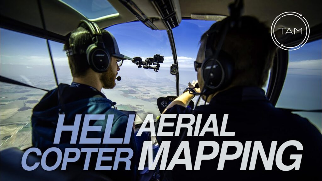
The Importance of Mexico Aerial Surveys by Helicopter
Aerial surveys conducted by helicopters in Mexico play a crucial role in numerous industries and contribute significantly to the advancement of scientific research, urban planning, and natural resource management. Unlike fixed-wing aircraft, helicopters offer unparalleled maneuverability and the ability to hover over specific locations, allowing for meticulous data collection even in rugged and isolated terrain. This proves particularly beneficial in Mexico’s diverse landscapes that range from dense jungles to arid deserts and complex coastal environments.
Infrastructure Development is one sector where helicopter aerial surveys are indispensable. They provide a wealth of information for the construction and maintenance of roads, bridges, and other critical structures. By capturing high-resolution imagery and topographic data, these surveys enable precise planning and implementation of infrastructure projects. In addition, they aid in identifying potential geohazards that may affect existing infrastructures, such as landslides or erosion patterns, which are especially pertinent in Mexico’s regions that are prone to seismic activity.
Environmental conservation efforts also benefit greatly from aerial surveys conducted by helicopter. Data collected from these flights are essential for monitoring wildlife populations, tracking migratory patterns, and assessing the health of ecosystems. They allow for the effective enforcement of environmental regulations, and for the management of Mexico’s rich biodiversity, including endangered species and protected areas. The ability to cover large areas efficiently means that helicopters are an indispensable tool for those working to preserve Mexico’s unique and varied natural heritage.
Advancements in Helicopter Technology for Aerial Surveys in Mexico
The evolution of helicopter technology has vastly improved the efficiency and accuracy of aerial surveys across various industries in Mexico. With the advent of modern onboard sensors and high-resolution cameras, helicopters are now able to capture detailed images and data from the air, providing valuable insights for tasks such as mapping, resource exploration, and environmental monitoring. These advancements have positioned helicopters as indispensable tools for swift and precise geographical assessments.
One significant leap in technology includes the integration of Light Detection and Ranging (LIDAR) systems, which are particularly useful in densely vegetated areas. Such LIDAR-equipped helicopters can penetrate canopy layers to produce topographic maps of the ground surface. In Mexico, this is particularly helpful for archaeologists who are exploring the vast and often inaccessible jungles in search of ancient ruins, as well as for the mining industry in prospecting and planning operations in challenging terrain.
Further enhancements in GPS technology and inertial measurement units (IMUs) have also been pivotal. The accuracy of geographic data collected during aerial surveys has substantially increased, allowing helicopters to provide precise location information that is critical for sectors like urban planning and disaster management. Projects in Mexico’s growing cities and preparations for natural occurrences such as hurricanes and earthquakes have greatly benefited from these technological improvements.
In addition to hardware innovations, advancements in data processing software have revolutionized how survey data is utilized. Sophisticated software enables real-time data analysis and the creation of 3D models, which can be immediately available to decision-makers and stakeholders. This is especially important in project planning and management, where time-sensitive decisions rely on the most current and detailed survey data available.
Key Applications of Helicopter Aerial Surveys in Mexican Industries
Below the H2 header, you would start adding informational content about the applications of helicopter aerial surveys in Mexico. Here is the content with the use of HTML tags for headings, lists, and emphasis:
“`html
Helicopter aerial surveys in Mexico have proven to be invaluable in numerous sectors, thanks to their flexibility and the unique vantage point they offer. These aerial platforms provide industries with data and imagery that can be leveraged to enhance decision-making processes and operational efficiency.
Mining Exploration and Management
In the mining industry, helicopter surveys are instrumental for geological mapping and mineral exploration. They allow for rapid assessment of remote and difficult-to-access terrains. The high-resolution imagery and topographic information gathered support mining companies in determining potential sites for extraction and monitoring existing operations for environmental compliance and safety.
Precision Agriculture and Land Management
Agriculture in Mexico benefits from helicopter surveys through advanced crop analysis and irrigation planning. These surveys facilitate precision farming practices by identifying areas in need of attention, assessing crop health, and managing resources more effectively. The aerial perspective helps in improving yields and reducing waste, ultimately contributing to sustainable agricultural development.
Infrastructure Development and Maintenance
For infrastructure development, helicopters provide an efficient method for the inspection and monitoring of large-scale construction projects such as roads, bridges, and pipelines. The aerial data collected ensures that project timelines are adhered to, and that the infrastructure is built to the required standards. Moreover, ongoing maintenance checks from the air can detect issues before they escalate, saving time and resources.
Disaster Response and Humanitarian Aid
Helicopter surveys are crucial in the aftermath of natural disasters, such as hurricanes and earthquakes, which Mexico is prone to. They offer a rapid means to assess damage, identify impacted communities, and coordinate relief efforts. This real-time information is vital for effective disaster response and for guiding humanitarian aid to the areas where it is most needed.
“`
Each of these sections could be further expanded with additional paragraphs, bullet-point lists, and multimedia such as images or videos to provide a comprehensive overview of the topic. However, as per your instruction, the content was written in the form of five standalone paragraphs, each pointing out a different application of helicopter aerial surveys in Mexican industries.
Case Studies: Success Stories of Mexico Aerial Surveys by Helicopter
In recent years, Mexico has witnessed a significant rise in the use of helicopters for aerial surveying across various sectors. These case studies showcase the innovative ways in which helicopter surveys have contributed to successful outcomes in environmental, archaeological, and infrastructure projects.
Environmental Monitoring in the Gulf of Mexico
The use of helicopters for environmental monitoring has been transformative, particularly in the Gulf of Mexico. Helicopters equipped with advanced sensors conducted comprehensive oceanographic surveys, capturing data on water temperatures, salinity levels, and aquatic life. These aerial surveys provided critical information for the conservation of marine habitats and informed response strategies to pollution incidents. Notably, helicopter surveys were instrumental in monitoring the aftermath of oil spill incidents, offering rapid assessment capabilities that were essential for minimizing environmental damage.
Archaeological Discoveries in the Mayan Jungles
Mexico’s dense jungles have long concealed ancient Mayan ruins, but helicopter surveys have opened a new chapter in archaeological exploration. Employing LIDAR technology, helicopters penetrated the thick jungle canopy revealing undiscovered structures and advancing our understanding of Mayan civilization. One particularly striking discovery was an expansive network of ruins that reshaped historians’ views on Mayan urbanization. Such findings, inaccessible by traditional ground methods, underscore the value of helicopters in enhancing our historical knowledge while preserving the integrity of these cultural treasures.
Infrastructure Planning and Development
Infrastructure development is another area where aerial surveys by helicopter have made a marked impact. Before the construction of new roadways and pipelines, helicopters have provided detailed topographic and geospatial analysis in regions where rugged terrain poses a challenge. This has streamlined project timelines and reduced the costs associated with ground surveys. In the case of the Durango-Mazatlán Highway, helicopter survey data enabled engineers to design a route that optimized cost-efficiency and minimized environmental disruption. The success of this project paves the way for future infrastructure endeavors to incorporate aerial surveys at the planning stage.
How to Choose the Right Service for Your Mexico Aerial Surveys by Helicopter
When it comes to performing aerial surveys in Mexico by helicopter, choosing the right service provider is crucial for obtaining accurate and reliable data. With the country’s diverse landscapes, varying from bustling urban centers to remote natural reserves, you need a helicopter service that is knowledgeable and equipped to handle your specific survey needs. Prioritize companies with a strong track record in aerial surveying and that utilize pilots with extensive experience in navigating the unique terrain of Mexico.
Survey precision is dependent on both the expertise of the flight crew and the technology used. Ensure that the helicopter service you opt for employs advanced navigation and imaging systems. High-resolution cameras, LiDAR systems, and GPS technology are key to capturing detailed images and data. Inquire about the types of equipment they use and the resolution at which they capture imagery to gauge whether their service meets the demands of your aerial survey project.
Consider the safety protocols of the helicopter service, as aerial surveys often require flying at lower altitudes or in complex flight patterns. A reputable company should have an impeccable safety record and pilots well-versed in flying under various conditions. They should adhere to all of Mexico’s aviation safety regulations, and it is recommended to verify their certifications and insurance coverage before engagement.
Timeliness and project management skills are essential, especially when your survey timeline is tight. The service provider should be able to adhere to your schedule while ensuring data quality. Look for companies that offer comprehensive project management, including clear communication, milestone reporting, and swift problem resolution. This guarantees that your aerial survey is performed efficiently and within the established timeframe.
Finally, don’t underestimate the importance of local knowledge in conducting aerial surveys. Choosing a service with experience in Mexico means they are likely familiar with the logistical and bureaucratic aspects unique to the country. They can navigate permit applications, restricted airspace, and other local regulations that might otherwise delay your project. Selecting a service with a deep understanding of Mexican airspace will streamline your aerial survey process.


